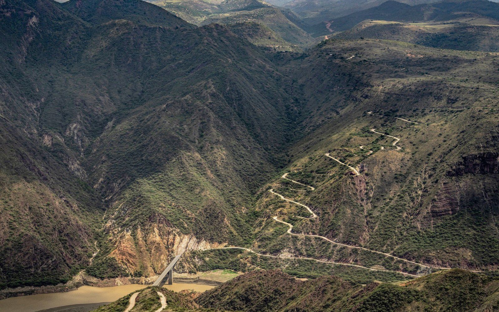
A Road Defined by Its River
Farm-to-Market Road 170 runs roughly 50 miles through Presidio County, connecting the county seat of Presidio in the west to the unincorporated settlement of Lajitas in the east, before continuing northeast toward Study Butte and State Highway 118. The road's alignment is not engineered for efficiency; it follows the Rio Grande's natural contours, climbing and descending the volcanic canyon walls that define the Big Bend corridor at the Texas–Mexico border.
TxDOT classifies FM 170 as a Farm-to-Market road ↗ — a category of state highway originally intended to link rural producers to market towns — but its remoteness places it in a different administrative reality from most of that network. Paved widths are narrow in several sections, and the route includes grades that reach double digits in percentage terms along the stretches closest to the river canyons. The Colorado Canyon and Contrabando sections, both within or adjacent to Big Bend Ranch State Park, are the most topographically constrained portions of the alignment.

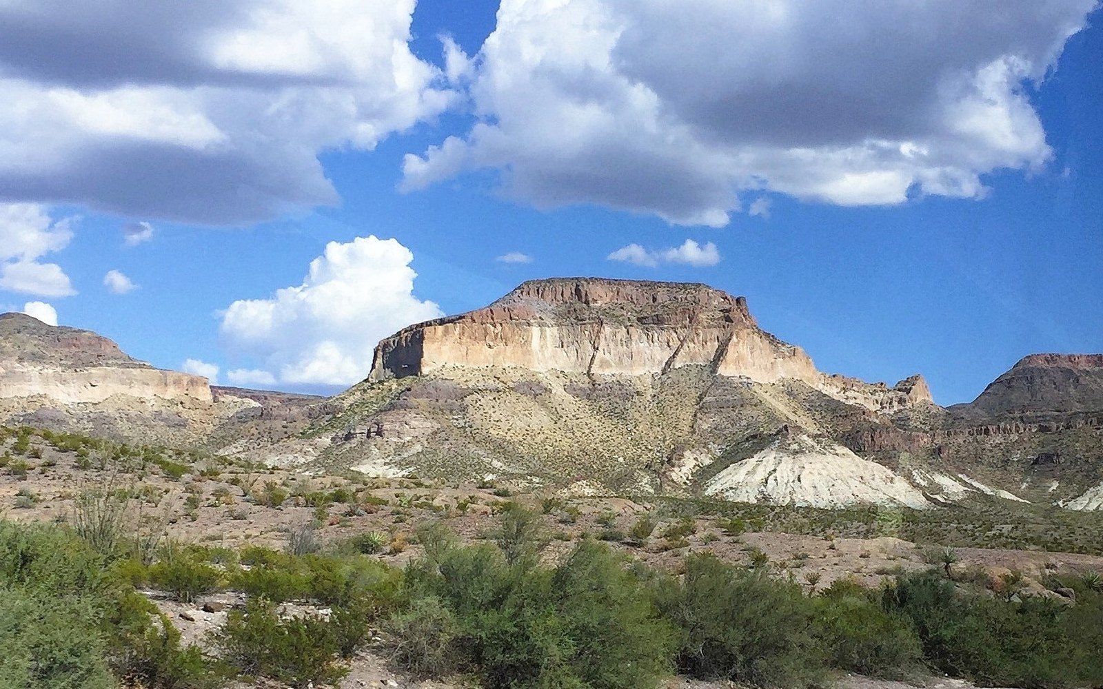
The National Park Service administers Big Bend National Park to the east, and Texas Parks and Wildlife manages the state park lands the road traverses. NPS documentation of the Big Bend region notes the corridor's extreme summer heat and limited services — the nearest fuel and emergency infrastructure at Presidio and Lajitas representing the practical endpoints of any significant travel through the stretch. The route passes through an area where cell coverage is absent for extended distances and where the Rio Grande floodplain can encroach on the road surface during weather events recorded by the National Weather Service's Midland forecast office.
Administratively, FM 170 sits at the intersection of TxDOT's Odessa District responsibility, NPS jurisdiction over adjacent federal land, and the National Park Service's separate administrative boundary for the river corridor itself. That layered oversight distinguishes it from the Ranch Roads 335, 336 and 337 corridor in Kerr and Real counties, where the primary administrative tension is traffic volume rather than infrastructure isolation.